Atm nearby Commonwealth Bank ATM
Australia
Atm nearby Commonwealth Bank ATM
Commonwealth Bank ATM
96-102 Malop Street, Geelong Australia
contacts phone
:
+61
Latitude:
-38.1464707
, Longitude:
144.362762
read more
nearest Atm
20 m
rediATM
Australia
Atm
read more
20 m
rediATM
77 Malop Street, Geelong
Atm
read more
50 m
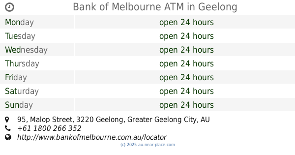
Bank of Melbourne ATM
Shop 1190 95 Malop St, Geelong
Atm
read more
51 m
Bank of Melbourne ATM
105 Malop Street, Geelong
Atm
read more
122 m
Bank of Melbourne ATM
95 Malop Street, Geelong
Atm
read more
122 m
Westpac ATM
Ground Floor/125 Malop Street, Geelong
Atm
read more
136 m
ANZ ATM Geelong Westfield
Geelong Westfield, 1, 95-97 Malop St, Geelong
Atm
read more
170 m
Cashcard ATM
42 Moorabool Street, Geelong
Atm
read more
198 m
ANZ ATM Geelong Market Square
Moorabool Street, Geelong
Atm
read more
200 m
ANZ ATM Geelong Market Square
Market Square, Ground Floor, Malop Street, Geelong
Atm
read more
207 m
CBA ATM (Market Square Shopping Centre - Lvl 1)
Moorabool Street, Geelong
Atm
read more
224 m
CBA ATM
60 Brougham Street, Geelong
Atm
read more
286 m
Cashcard ATM
119 Moorabool Street, Geelong
Atm
read more
298 m
Bankwest ATM
115 Moorabool St, Geelong
Atm
read more
333 m
Cashcard ATM
69 Yarra Street, Geelong
Atm
read more
366 m
Cashcard ATM
98 Little Malop Street, Geelong
Atm
read more
395 m
People's Choice Credit Union - Barwon Health - ATM
229 Ryrie Street, Geelong
Atm
read more
412 m
Cashcard ATM
38 Bellerine Street, Geelong
Atm
read more
417 m
Achieve Home Loans
Level One/62 Little Malop Street, Geelong
Atm
read more
432 m
Cashcard ATM
200 Ryrie Street, Geelong
Atm
read more
742 m
Bankwest ATM
Ryrie St & Swanston Street, Geelong
Atm
read more
847 m
nab atm
107 Gheringhap Street, Geelong
Atm
read more
847 m
rediATM
107 Gheringhap Street, Geelong
Atm
read more
860 m
FCCS Credit Union
107 Gheringhap Street, Geelong
Atm
read more
1.212 km
ANZ ATM Fowlers Pharmacy
1, Fowlers Pharmacy, Ormond Road, East Geelong
Atm
read more
📑
all categories
Accounting
Administrative area level 1
Administrative area level 2
Airport
Amusement park
Aquarium
Art gallery
Atm
Bakery
Bank
Bar
Beauty salon
Bicycle store
Book store
Bowling alley
Bus station
Cafe
Campground
Car dealer
Car rental
Car repair
Car wash
Casino
Cemetery
Church
City hall
Clothing store
Colloquial area
Convenience store
Courthouse
Dentist
Department store
Doctor
Electrician
Electronics store
Embassy
Finance
Fire station
Florist
Food
Funeral home
Furniture store
Gas station
General contractor
Grocery or supermarket
Gym
Hair care
Hardware store
Health
Hindu Temple
Home goods store
Hospital
Insurance agency
Jewelry store
Laundry
Lawyer
Library
Light rail station
Liquor store
Local government office
Locality
Locksmith
Lodging
Meal delivery
Meal takeaway
Mosque
Movie rental
Movie theater
Moving company
Museum
Natural feature
Neighborhood
Night club
Painter
Park
Parking
Pet store
Pharmacy
Physiotherapist
Place of worship
Plumber
Point of interest
Police
Political
Post office
Premise
Real estate agency
Restaurant
Roofing contractor
Route
Rv park, camping
School
Shoe store
Shopping mall
Spa
Stadium
Storage
Store
Subpremise
Subway station
Supermarket
Synagogue
Taxi stand
Train station
Transit station
Travel agency
University
Veterinary care
Zoo
↑