Gas station nearby Coles Express
Coronavirus disease (COVID-19) Situation
confirmed cases
11853144
deaths
24414
Australia
Gas station nearby Coles Express
Coles Express
100-106, Newcastle Street, 2609, Fyshwick, AU Australia
contacts phone
:
+61 2 6239 3350
website:
www.colesexpress.com.au
Latitude:
-35.3279386
, Longitude:
149.1779477
larger map & directions
read more
nearest Gas station
9 m
Coles Express
100-106 Newcastle Street &, Wollongong Street, Fyshwick
Gas station
read more
58 m
Shell
Gas station
read more
486 m
Metro Petroleum
15 Barrier Street, Fyshwick
Gas station
read more
491 m
Mobil
15 Barrier Street, Fyshwick
Gas station
read more
1.002 km
United
289 Canberra Avenue, Fyshwick
Gas station
read more
1.306 km
Shell
Ipswich St & Wiluna St, Fyshwick
Gas station
read more
1.306 km
Shell
Ipswich Street, Fyshwick
Gas station
read more
1.31 km
Coles Express
8-12 Wiluna Street, Fyshwick
Gas station
read more
1.31 km
Coles Express
8-12 Wiluna St & IPSWICH CNR, Fyshwick
Gas station
read more
1.405 km
BP
2 Ipswich Street, Fyshwick
Gas station
read more
1.407 km
BP
Auburn North, Fyshwick
Gas station
read more
1.783 km
Actew Agl
Mildura Street, Fyshwick
Gas station
read more
2.216 km
7-Eleven Fyshwick
Cnr Canberra Avenue &, Dalby Street, Fyshwick
Gas station
read more
2.216 km
7 Eleven
Cnr Canberra Avenue &, Dalby Street, Fyshwick
Gas station
read more
2.234 km
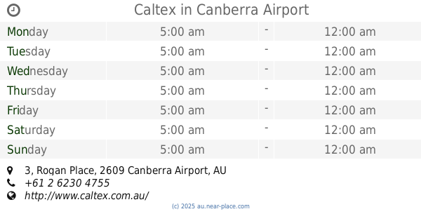
Caltex
1/3 Rogan Place, Canberra Airport
Gas station
read more
2.249 km
Caltex Canberra Airport (Pialligo)
1/3 Rogan Place, Canberra Airport
Gas station
read more
3.455 km
Mobil
6 Stephens Road, Crestwood
Gas station
read more
3.638 km
Costco Fuel
ACT
Gas station
read more
4.053 km
Coles Express
Canberra Ave, Griffith
Gas station
read more
4.792 km
Ampol Queanbeyan
Lanyon Drive, Queanbeyan West
Gas station
read more
4.792 km
Ampol Queanbeyan
Lanyon Dr & McCrae St, Queanbeyan West
Gas station
read more
5.148 km
Metro Petroleum
65 Tharwa Road, Queanbeyan West
Gas station
read more
5.557 km
Petro John
16 Broughton Place, Queanbeyan
Gas station
read more
5.808 km
BP
44/46 Lowe Street, Queanbeyan
Gas station
read more
6.932 km
7-Eleven
6 Southqueen Place, Karabar
Gas station
read more
📑
all categories
Accounting
Administrative area level 1
Administrative area level 2
Airport
Amusement park
Aquarium
Art gallery
Atm
Bakery
Bank
Bar
Beauty salon
Bicycle store
Book store
Bowling alley
Bus station
Cafe
Campground
Car dealer
Car rental
Car repair
Car wash
Casino
Cemetery
Church
City hall
Clothing store
Colloquial area
Convenience store
Courthouse
Dentist
Department store
Doctor
Electrician
Electronics store
Embassy
Finance
Fire station
Florist
Food
Funeral home
Furniture store
Gas station
General contractor
Grocery or supermarket
Gym
Hair care
Hardware store
Health
Hindu Temple
Home goods store
Hospital
Insurance agency
Jewelry store
Laundry
Lawyer
Library
Light rail station
Liquor store
Local government office
Locality
Locksmith
Lodging
Meal delivery
Meal takeaway
Mosque
Movie rental
Movie theater
Moving company
Museum
Natural feature
Neighborhood
Night club
Painter
Park
Parking
Pet store
Pharmacy
Physiotherapist
Place of worship
Plumber
Point of interest
Police
Political
Post office
Premise
Real estate agency
Restaurant
Roofing contractor
Route
Rv park, camping
School
Shoe store
Shopping mall
Spa
Stadium
Storage
Store
Subpremise
Subway station
Supermarket
Synagogue
Taxi stand
Train station
Transit station
Travel agency
University
Veterinary care
Zoo
↑