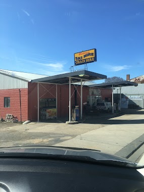
Gas station nearby Caltex
Australia
Gas station nearby Caltex
Caltex
Curran Drive, Cnr O'Hanlon Place, Nicholls Australia
contacts phone
:
+61
Latitude:
-35.1894287
, Longitude:
149.0815598
read more
nearest Gas station
1.991 km
7-Eleven Casey
10 Kingsland Parade, Casey
Gas station
read more
3.028 km
7-Eleven Giralang
Cnr Canopus Cres & Atalumba, Giralang
Gas station
read more
3.028 km
7-Eleven Giralang
Cnr Canopus Cres, Giralang
Gas station
read more
4.083 km
Caltex
Gundaroo Dr & Ginn St, Gungahlin
Gas station
read more
4.159 km
Coles Express
1 Ginn St & Crinigan Circle, Gungahlin
Gas station
read more
5.299 km
United Petroleum
1/180 Katherine Avenue, Amaroo
Gas station
read more
5.84 km
Coles Express
Cohen St & Josephson Street, Belconnen
Gas station
read more
5.855 km
Shell
Cohen St & Josephson St, Belconnen
Gas station
read more
6.016 km
Caltex
116 Lysaght Street, Mitchell
Gas station
read more
6.016 km
Caltex Mitchell
116 Lysaght Street, Mitchell
Gas station
read more
6.128 km
Shell
19 Lathlain Rd, Cnr Nettleford St, Belconnen
Gas station
read more
7.747 km
Caltex
41 Federal Highway, Watson
Gas station
read more
8.511 km
Caltex
1 Cape Street, Dickson
Gas station
read more
8.623 km
BP
110 Federal Highway, Watson
Gas station
read more
10.221 km
Caltex
36 Lonsdale Street, Braddon
Gas station
read more
10.621 km
7-Eleven Braddon
Cooyong St & cnr Mort St, Braddon
Gas station
read more
10.68 km
BP
2 Lonsdale Street, Braddon
Gas station
read more
10.897 km
Electric Car Fast Charger
Canberra
Gas station
read more
11.825 km
United Sutton
1542 Federal Highway, Sutton
Gas station
read more
14.051 km
Shell
25 Hopetoun Cirt, Deakin
Gas station
read more
14.057 km
Petrol Station Omeo
Petrol Station 29 Hopetoun Circuit, Deakin
Gas station
read more
15.272 km
Caltex Woolworths
Mustang Avenue, Canberra
Gas station
read more
15.29 km
Coles Express
Canberra Ave, Griffith
Gas station
read more
15.414 km
BP
77 Canberra Avenue, Kingston
Gas station
read more
15.424 km
Costco Fuel
ACT
Gas station
read more
📑
all categories
Accounting
Administrative area level 1
Administrative area level 2
Airport
Amusement park
Aquarium
Art gallery
Atm
Bakery
Bank
Bar
Beauty salon
Bicycle store
Book store
Bowling alley
Bus station
Cafe
Campground
Car dealer
Car rental
Car repair
Car wash
Casino
Cemetery
Church
City hall
Clothing store
Colloquial area
Convenience store
Courthouse
Dentist
Department store
Doctor
Electrician
Electronics store
Embassy
Finance
Fire station
Florist
Food
Funeral home
Furniture store
Gas station
General contractor
Grocery or supermarket
Gym
Hair care
Hardware store
Health
Hindu Temple
Home goods store
Hospital
Insurance agency
Jewelry store
Laundry
Lawyer
Library
Light rail station
Liquor store
Local government office
Locality
Locksmith
Lodging
Meal delivery
Meal takeaway
Mosque
Movie rental
Movie theater
Moving company
Museum
Natural feature
Neighborhood
Night club
Painter
Park
Parking
Pet store
Pharmacy
Physiotherapist
Place of worship
Plumber
Point of interest
Police
Political
Post office
Premise
Real estate agency
Restaurant
Roofing contractor
Route
Rv park, camping
School
Shoe store
Shopping mall
Spa
Stadium
Storage
Store
Subpremise
Subway station
Supermarket
Synagogue
Taxi stand
Train station
Transit station
Travel agency
University
Veterinary care
Zoo
↑