places in Hervey Bay
Coronavirus disease (COVID-19) Situation
confirmed cases
11853144
deaths
24414
Australia
Hervey Bay
Hervey Bay
Administrative Region:
Queensland
population:
52 806
calling code:
+61-7
postcode:
QLD 4655
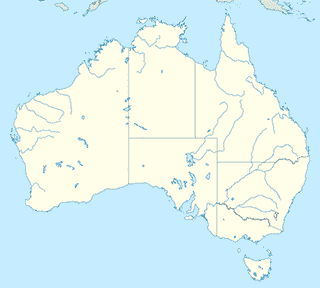
Location on the map of Australia
Hervey Bay
Finance
Mortgage Choice Financial Planning Pialba
69 Torquay Road, Pialba
Finance
read more
Wide Bay Pre-Owned Cars
71 Torquay Road, Pialba
Finance
read more
RAMS Home Loans Hervey Bay
1/62 Main Street, Pialba
Finance
read more
Bankruptcy Experts Herveybay
1/5 Nissen Street, Hervey Bay
Finance
read more
Summit Financial Services
Unit 7, 6 Liuzzi Street, Pialba
Finance
read more
Cash Converters
129 Boat Harbour Drive, Pialba
Finance
read more
Paleso Finance Group Hervey Bay
1/65 Boat Harbour Drive, Hervey Bay
Finance
read more
Aussie Home Loans Hervey Bay
1/156 Boat Harbour Drive, Pialba
Finance
read more
Life Stages Financial Strategies
3/6-8 Liuzzi Street, Pialba
Finance
read more
Bankruptcy Hervey Bay
1/5 Nissen Street, Hervey Bay
Finance
read more
Cash-convertors
Urraween
Finance
read more
Fire station
Craignish Fire Station
67-69 Castles Road North, Craignish
Fire station
read more
Nikenbah Rural Fire Brigade
LOT 1 Aalborg Road North, Nikenbah
Fire station
read more
Takura Rural Fire Brigade
Takura
Fire station
read more
Florist
Bay Flowers and Gifts
Fraser Shores Shopping Plaza, 81 Boat Harbour Drive, Pialba
Florist
read more
Food
Vitwood Droughtmaster Stud
1/79 Boat Harbour Drive, Pialba
Food
read more
Wide Bay Geotechnical Services P/L
107 Old Maryborough Road, Pialba
Food
read more
Smoooth Cafe & Juice Bar
Eli Waters
Food
read more
Bay Fusion Catering
28/34-36 Panorama Drive, Dundowran Beach
Food
read more
Delux Party Hire
2/8-10 Boat Harbour Drive, Hervey Bay
Food
read more
Fraser Coast Bayside Brewers
Hervey Bay Home Brew, 2/92 Beach Road, Pialba
Food
read more
Funeral home
J Kirk & Sons
224 Urraween Road, Urraween
Funeral home
read more
Ross Funerals
18 Nikenbah Dundowran Road, Nikenbah
Funeral home
read more
📑
Hervey Bay all categories
Accounting
Administrative area level 2
Airport
Art gallery
Atm
Bakery
Bank
Bar
Beauty salon
Bicycle store
Bowling alley
Bus station
Cafe
Campground
Car dealer
Car rental
Car repair
Car wash
Cemetery
Church
Clothing store
Colloquial area
Convenience store
Dentist
Department store
Doctor
Electrician
Electronics store
Finance
Fire station
Florist
Food
Funeral home
Furniture store
Gas station
General contractor
Grocery or supermarket
Gym
Hair care
Hardware store
Health
Home goods store
Hospital
Insurance agency
Jewelry store
Laundry
Lawyer
Library
Liquor store
Local government office
Locality
Locksmith
Lodging
Meal delivery
Meal takeaway
Movie rental
Movie theater
Moving company
Museum
Natural feature
Painter
Park
Parking
Pet store
Pharmacy
Physiotherapist
Plumber
Point of interest
Police
Post office
Premise
Real estate agency
Restaurant
Roofing contractor
Route
Rv park, camping
School
Shoe store
Shopping mall
Spa
Storage
Store
Supermarket
Travel agency
University
Veterinary care
↑