Park nearby Belair National Park
Australia
Park nearby Belair National Park
Belair National Park
Upper Sturt Road, Belair Australia
contacts phone
:
+61
Latitude:
-35.0079032
, Longitude:
138.6339416
read more
nearest Park
398 m
Belair National Park Holiday Park
Upper Sturt Road, Belair
Park
read more
2.248 km
Brownhill Creek Recreation Park
Brown Hill Creek Rd, Mitcham
Park
read more
2.68 km
McElligott's Quarry Reserve
Carrick Hill Drive, Mitcham
Park
read more
2.786 km
Lynton Reserve
Lynton
Park
read more
3.15 km
Cypress Terraces
Springfield
Park
read more
3.201 km
Elm Tree Terraces
Springfield
Park
read more
3.223 km
Pear Arbour
Springfield
Park
read more
3.239 km
Mitcham Reserve
between Old Belair Rd, Norman Walk & Evans Ave, Old Belair Road, Mitcham
Park
read more
3.247 km
Rose Garden
Meadowvale Road, Springfield
Park
read more
3.315 km
Mitcham duck feeding park
Norman Walk, Mitcham
Park
read more
3.327 km
Sutton Gardens
cnr Albert St & Old Belair Rd, Old Belair Road, Mitcham
Park
read more
4.264 km
Waite Oval
Fullarton Rd & Claremont Ave, Urrbrae
Park
read more
4.33 km
Soldiers' memorial avenue
Kingswood
Park
read more
4.46 km
Soldier’s Memorial Gardens - Mitcham
Hawthorn
Park
read more
4.521 km
Waite Arboretum
Walter Young Avenue, Urrbrae
Park
read more
4.55 km
Reade Park
Colonel Light Gardens
Park
read more
4.879 km
Kingswood Reserve
corner Belair Road and Halsbury Ave, Belair Road, Kingswood
Park
read more
4.894 km
Frome Reserve
1 Park Avenue, Urrbrae
Park
read more
5.027 km
Playground
30 Donald Street, Saint Marys
Park
read more
5.047 km
Donald Street Reserve
Saint Marys
Park
read more
5.231 km
Walford Parks Playing Fields
corner Belair Road and Cross Road, Belair Road, Hawthorn
Park
read more
5.343 km
Batchelor Reserve
Westbourne Park
Park
read more
5.532 km
Skitch Reserve
2 Rowell Road, Melrose Park
Park
read more
10.919 km
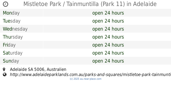
Mistletoe Park / Tainmuntilla (Park 11)
Adelaide
Park
read more
13.866 km
Croydon Playground Reserve
LOT 1 Day Terrace, Croydon
Park
read more
📑
all categories
Accounting
Administrative area level 1
Administrative area level 2
Airport
Amusement park
Aquarium
Art gallery
Atm
Bakery
Bank
Bar
Beauty salon
Bicycle store
Book store
Bowling alley
Bus station
Cafe
Campground
Car dealer
Car rental
Car repair
Car wash
Casino
Cemetery
Church
City hall
Clothing store
Colloquial area
Convenience store
Courthouse
Dentist
Department store
Doctor
Electrician
Electronics store
Embassy
Finance
Fire station
Florist
Food
Funeral home
Furniture store
Gas station
General contractor
Grocery or supermarket
Gym
Hair care
Hardware store
Health
Hindu Temple
Home goods store
Hospital
Insurance agency
Jewelry store
Laundry
Lawyer
Library
Light rail station
Liquor store
Local government office
Locality
Locksmith
Lodging
Meal delivery
Meal takeaway
Mosque
Movie rental
Movie theater
Moving company
Museum
Natural feature
Neighborhood
Night club
Painter
Park
Parking
Pet store
Pharmacy
Physiotherapist
Place of worship
Plumber
Point of interest
Police
Political
Post office
Premise
Real estate agency
Restaurant
Roofing contractor
Route
Rv park, camping
School
Shoe store
Shopping mall
Spa
Stadium
Storage
Store
Subpremise
Subway station
Supermarket
Synagogue
Taxi stand
Train station
Transit station
Travel agency
University
Veterinary care
Zoo
↑